Source: pixabay.com
959,188 inhabitants
|
surface area: 199 km2
|
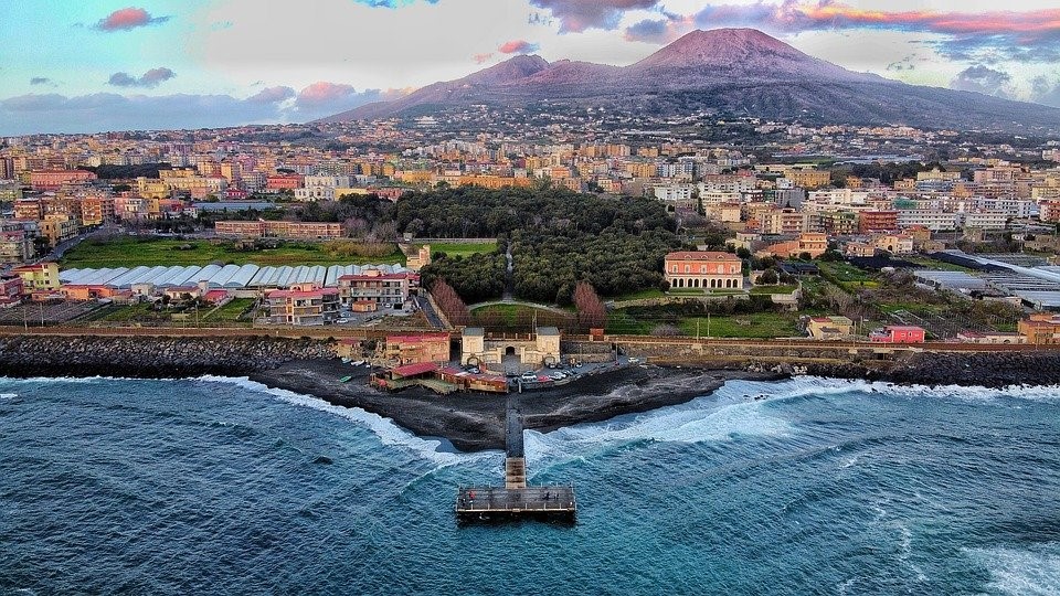
The municipality of Naples is the regional county seat (Region of Campania) and is situated in southern Italy.
Climate: moderate the winters & summer highs averaging near 30 °C
Which pressures?
 Urban Growth Urban Growth
|
Why?
Environmental pressures targeted by SMURBS
Urban Growth: Illegal buildings are considered the main cause of land consumption in Naples. The causes of land take are micro-transformation of the city center and the uncontrolled expansion in the peri-urban areas. Industrial plants in disuse have been abandoned and are contaminating the soil. The “Metropolitan City General Urban Plan” has been modified by many local variants and there is no overall plan for coordination. The available data related to urban transformation is not updated or suitable to support urban planners and decision-makers. Urban growth and land consumption monitoring instruments are not available at the local level.
|
How?
The implementation of smart urban solutions
Urban Growth: Within SMURBS, annual land consumption changes for Naples were calculated by Very High Resolution (VHR) products (5m) based on GIS mapping of photo interpretations of the annual land cover. The technology used allows advanced land consumption monitoring to record the pattern of urban growth and thus, to assess potential sustainability patterns of the city. The resulting detailed and updated maps allow the administration and urban planners to monitor micro transformations in the city area and the urban development in the peri-urban areas and to realize urban development strategies re-shaping and re-thinking the use of spaces. Furthermore, these maps are easily understandable for the citizens and can be a valuable instrument for urban regeneration projects. Further applications of this solution include the elaboration of specific indicators, such as Sustainable Development Goal (SDG) 11.3.1 “Ratio of land consumption rate to population growth rate” and “per capita land consumption”.
The calculation of selected city-scale metrics and indicators referring to urban growth, urban density, urban sprawl, green areas, soil sealing, and historical trends, aims at monitoring urban growth processes and at supporting the local administration to plan sustainable and healthy city development.
The land cover classification for the urban area of Naples is based on satellite images (Sentinel-1 and Sentinel-2) at 10m resolution. This is a valuable input for Earth Observation Data Ecosystem Monitoring (EODESM) system. This solution provides a framework for land use planning and urban design. Mapping procedures involve stakeholders, who are participating in the individuation of relevant ancillary data by providing research and cartographic material available on the local level. This represents a fundamental integration between national and local level information. |