The Urban state of play
SMURBS reaches out local and regional authorities, urban planners, city level stakeholders, specific citizen communities and humanitarian bodies in an attempt to map “what is out there” and understand “what the users want”.
What a city needs
targeted stakeholders from 30 cities and 17 countries participated in SMURBS online survey
Read more
tailored interviews in the themes of air quality/ health, urban growth/ migration, and disasters
Read more
participants in authority, citizen and industry workshops
Read more

smart-city projects & solutions (databases, portals and apps) inventoried
Read more
Levels of Legal Framework: UN, EU and National/Local
Read more
Most of this information is now gathered, processed and synthesized into 24 Key Messages that stimulate strategic planning and development of the solutions and products, as well as their implementation in the network of SMURBS smart cities.

The Gap analysis (technology, methods, and regulations) is the culmination of these efforts, soon to be publicly available.
Our pilot cities
The motivation for SMURBS rises from its aspiration to promote and coordinate the “smart city” concept primarily into a European network of cities but also to cities overseas, illustrating the experience and learnings from a number of cities at different stages on the smart city journey.
- A group of cities of varying sizes, geographies, environmental pressures and levels of progress in terms of ‘smartness’ are selected with a multi-criteria analysis.
- Urban pressures are put in an hierarchy (see ‘The Urban State of Play‘).
- The optimum issue-to solution correspondence is decided.
- A dossier of ‘smart city’ implementation is designed for each city of the SMURBS network.
- The plan is executed. Smart solutions are applied.
SMURBS utilizes each partner’s knowledge of their geographic area of influence and local city particularities, advantages and resources, and combines it with the lessons learnt from the pilots’ implementation to construct the most feasible and cost-effective way to tackle the environmental issue at hand. This constellation of cities employing solutions from the portfolio showcases their effectiveness and helps establish the urban component of GEOSS in Europe.
SMURBS serves as an umbrella for “smart city” initiatives in the EU relevant area, fosters networking, assures replicability and exploitation of existing and developed capacities.
You are invited to explore the SMURBS smart urban network, by clicking on the rectangles of the interactive map below. (Then, click a random place on the map to close the pop-up window.) Read more will lead you to specific information per city of our network.
Theme Countries
![]() Air Quality
Air Quality ![]() Urban Growth
Urban Growth ![]() Migration
Migration ![]() Disasters
Disasters ![]() Health
Health
City Status
![]() Pilot city
Pilot city ![]() Case study
Case study ![]() Testbed
Testbed ![]() Follower
Follower
PC -Light house Pilot Cities: implementing an integrated plan of a series of solutions to one or more of the pressures addressed.
TB – Test Bed cities: testing or demonstrating specific, targeted solutions.
CS – Case studies: implemented to address the complicated and high-priority EU issues of air pollution health impacts and social inequalities and the on-going migrant crisis.
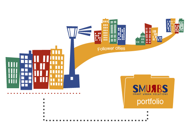
FL -Follower cities: observe, interact and contribute to the exploitation of the smart city concept of SMURBS.
Portfolio of Smart Urban Solutions
At the core of SMURBS actions lies the creation of a portfolio of SMart URBan Solutions, towards the targeted environmental pressures. The solutions are based on the exploitation and synergy of different Earth Observation (EO) products, including satellites, in situ monitoring, smart sensors, and air quality modeling from European to city-scale (the analytical description of all platforms and data can be found in D3.1-D3.5). Information is disseminated via web services and mobile phone apps.
The portfolio entails 41 tools and solutions in support of urban planners, decision-makers, and other stakeholders. Most of them (22) focus on air quality and health, 13 on urban growth and migration, and 6 on disasters.
 “Hard-sciences” work together to provide concrete solutions and, conversely, each partner extends his ideas to a more service-wise innovation. The portfolio revolves around a constellation of partners and cities each of which contributes to and takes up accordingly from the portfolio. Its items are exploited in a network of more than 30 pilot cities in 14 countries (see the above interactive map), paving the way for replication to other cities in and outside Europe. The introduction of individual portfolio elements into the EO marketplace is currently explored.
EO platforms
SMURBS employs multiple EO platforms, augments cross-validated EO information and creates synergies among these platforms for city scale applications and solutions. The consortium of SMURBS has honed its skills, scientific excellence and technical know-how on these platforms and moves beyond the state-of- the-art:
In-situ
With respect to air quality (AQ), SMURBS employs state-of- the-art instrumentation for monitoring atmospheric pollution parameters with high temporal resolution, that
- allow near real-time source apportionment and composition of major pollutants (e.g. black carbon from biomass burning and fossil fuel)
- create direct interlinks with health impacts (e.g. online estimation of oxidative stress induced processes of aerosols on human cells)
- link the regulatory networks of basic pollutants, with IoT/smart sensors (low cost – dense coverage) and supersites (high cost – high temporal resolution and specialization of measurements).
With respect to disasters, SMURBS platforms include 2D/3D mapping as well as the use of GIS/Geospatial Decision making systems for pre- and post- assessment of disasters combining RS data acquisition mechanisms (i.e. satellite and aerial/UAV imagery) with in-situ data collection (i.e. GNSS control point measurement, Mobile Mapping Systems, laser scanners).
Satellites
SMURBS brings to the forefront the Copernicus Sentinel family of satellites. Sentinel images become available through NOA’s Collaborative Ground Segment (responsible for the collection, management and distribution of Sentinel data). MSG SEVIRI (EUMETSAT) satellite is also exploited.
The core methods include:
- satellite data fusion of land and atmospheric products, combined with suitable systems of processing and classification, allow the assessment of the urban growth, the objective representation of the territory and its development and the environmental impact of natural and manmade disasters (e.g. time observations and status of active fires, mapping of burnt areas, flood extent mapping).
- Land Cover classification through the Spectral Angle Mapping algorithm, customized to meet the mapping needs of cities
- Urban Patterns recognition for defining effective policies for limiting soil sealing and utilizing spatial metrics for studying land cover change in urban areas
- Urban Disaster monitoring where multi-temporal analysis using differential interferometry (DInSAR) increases accuracy to estimate land deformations caused by natural or various anthropogenic activities.
Modeling
In SMURBS, great emphasis is given in homogenizing existing and developing unique, common methodologies for AQ modeling at the city scale.
- Developing urban, high resolution emissions inventories, by the use of demographical, habitual, constructional and socio-economic information for specific sources (e.g. residential wood burning), data from in-situ networks or supersites (e.g. from ACTRIS), and space-borne data.
- Exploiting CAMS products. They will be evaluated and adjusted to the established model system.
- Bridging of state-of- the-art regional atmospheric models with city-scale models for high resolution AQ simulations. The SMURBS model ensemble consists of a number of atmospheric, chemical-transport models (COSMO-ART, CHIMERE, WRF- CHEM, CMAQ). Enhanced intra-urban atmospheric models (TAPM, CITYCHEM), are installed and nested to the regional system.
- Applying emission scenarios (e.g. GAINS) and receptor modeling (e.g. PMF – positive matrix factorization), to facilitate co-benefit analysis and identify key sources.
Innovative platforms
 Citizen Observatories (COs). SMURBS is in the process of creating a new generation of smart citizens, more capable and active in local governance and decision making.
- COs transform citizens to “early scientists”, through scientific guidance.
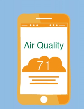
 The output of the array of EO platforms is translated into easy to grasp indicators for the urban population and smart distribution via online platforms and smart-phone apps boosts awareness and engages citizens.
SMURBS will assess, further develop and deploy field smart sensor package nodes in selected pilot cities that measure atmospheric and terrestrial variables, in an attempt to forward exploitation of low cost, dense networks and continuous measurements.
GEOSS and Copernicus

The activities of SMURBS push forward the strategic priorities laid out in the GEO Strategic Plan 2016-2025 regarding the implementation of GEOSS. The ambition of the project is to contribute to GEOSS activity in the component of urban areas. This is achieved by the geographical extent of the project (partners from 12 European countries, plus connections with Bolivia and China), the stakeholders involved and engaged and the EO smart-urban solutions provided (currently under development). A feedback effect is conversely expected, that of bringing the partners of the consortium closer to the GEO vision and modus operandi.

Concerning the Copernicus advancement, SMURBS exploits the Copernicus Atmospheric Monitoring Service (CAMS), Land Monitoring (CLMS) and Emergency Management (EMS) and offers a variety of platforms in a wide geographical area for the validation of Copernicus products.