319,536 inhabitants
|
surface area: 117 km2
|
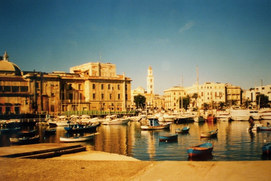
Capital city of the Apulia Region in Italy & the Bari Metropolitan Area.
Climate: warm/dry summers & wet/mild winters
Which pressures?
 Disasters Disasters  Urban Growth and Urban Growth and  Migration Migration
|
Why?
Environmental pressures targeted by SMURBS
Disasters: Flooding is one of the major hazards that historically affects the city of Bari. This is due to heavy rain events and increased soil sealing, which has occurred in the last few decades. Bari and its surrounding area is highly permeable and is characterized by a drainage network with natural incision, which is locally known as lame. Anthropogenic actions due to a lack of city-planning and management of lame areas have resulted in some recent catastrophic events such as the flood of October 2005.
Migration: As a port city facing southeast towards the Mediterranean, Bari has experienced continual increasing fluxes of migrants due to both on-going economic-political crises and climate change. Between 2001 and 2010, the rate of growth of the migrant population residing in Bari was higher (+247.5%) than the average national growth rate (+242.4). Alternatively, local Bari population has increased only 1.32% and remains quite stable up until 2018 (an additional total increase of 0.12%), whereas the migrant population increased an additional +44.2% since 2010.
Urban Growth: Since 1970, the urban expansion phenomenon has been a constant in Bari. The largest consumption of land, an industrial are allocated in the southwest, includes a large portion of the nearby municipality of Modugno. |
How?
The implementation of smart urban solutions
Disasters: An updated flooding hazard map was provided by the Apulia Basin Authority and used as input for the evaluation of SDG Indicator 11.1.1 via a map displaying the population living in inadequate buildings due to their proximity to a hazardous area. Further, an updated Settlement map providing building information was obtained from an automatic long-term analysis of high resolution (10-30m) satellite data. For the population estimation, a Grid Population Map was provided from a vector-based dasymetric method, based on the integration of the Settlement map and ancillary census population data. The informative content of the Settlement and Grid Population maps can be used to quantify the exposure term in Risk Assessment.
Migration: The SMURBS developed solution for migrants allows for the detection of trends in regular migration settlements and, thus, the quantification of SDG 11 indicators at the intra-urban scale within a 100m x 100m output grid. In particular, the map of the regular migrant population living in inadequate housing (SDG Indicator 11.1.1) and the ratio of land consumption rate to the regular migrant population growth rate (SDG Indicator 11.3.1) were implemented as specific categories of SDGs to address in Bari. The Indicators were computed for only the migrants population category based on the disaggregation criteria of the population found in the SDG metadata files. The considered Indicators are well related to urban resilience and could support urban planners and decision-makers in devising sustainable, livable, and resilient trajectories with respect to the management of migrant fluxes.
Urban Growth: Updated Land Cover/Land Use (LC/LU) maps from an automatic long-term analysis of high resolution (10-30m) satellite data was be provided to analyze the recent distribution of patterns in urban regions and to extract changes in a specific target class or in urban region patterns. For this purpose, Copernicus data layers (i.e., grasslands, forest, imperviousness, human settlements) were used for change detection in combination with recent Sentinel-2 data through the Cross-Correlation Analysis (CCA) technique. In addition, a time series of Landsat and Sentinel-2 data was analyzed to extract class-specific trends. |