ISPRA and the Environmental Protection Agencies (ARPA) met the local administrators of the five SMURBS Italian pilot cities to present the project and carry out an interview to local administrators on users needs and gaps on SMURBS issues
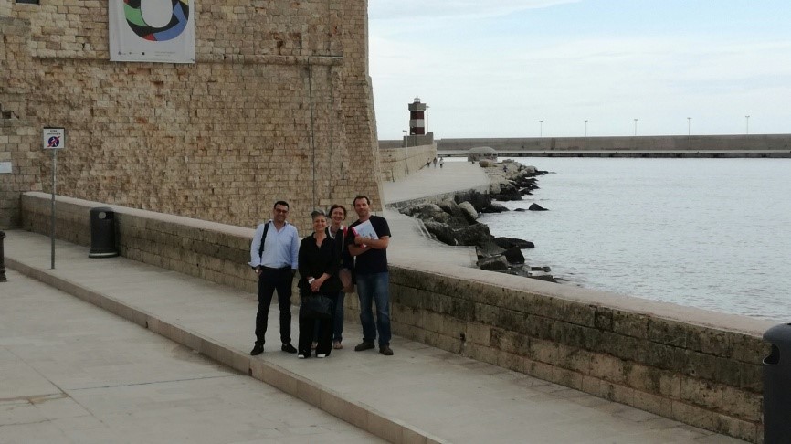
MONOPOLI (Bari)
ISPRA together with Regional Environment Agency of Apulia have involved city administration stakeholder (relevant technical municipal officer) at an early stage under WP2 activities through online questionnaire, followed by a meeting (held on 14th June 2018) during which a in-depth interview has been held. The city administration representative and the regional environment agency agreed that smart city methods could help in achieving the use of Earth Observation (EO) data for urban growth aspects by public authorities. Proposals such as unified web portal or smartphone apps to improve the communication between citizens and the public authorities have been considered valuable instruments to tackle urban growth and the relative environmental and social aspects.
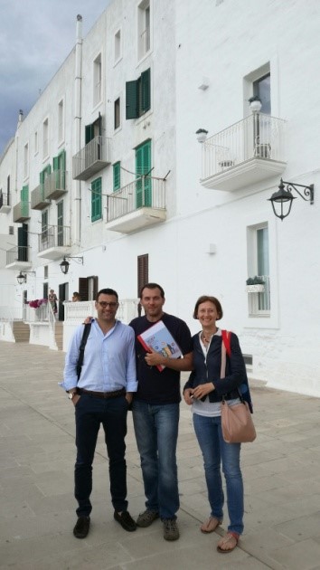
NAPLES
ISPRA together with Regional Environment Agency of Campania have involved city administration stakeholder (relevant technical municipal officer) at an early stage under WP2 activities through online questionnaire, followed by a meeting (held on 19th June 2018) during which SMURBS project has been presented and a in-depth interview has been held in order to identify city needs and requirements: in the metropolitan area it would be useful to use land consumption indicators in order to start a development program for inland areas, including at regional level. Also to be provided: mapping of territorial transformation in the North-East Area of Naples (pilot area); mapping of illegal buildings, of fire-damaged areas. Municipality needs to find solutions to address the regeneration of contaminated soils and its reuse. The north eastern area of Naples – featured by consumed and contaminated soil in the industrial area “Bagnoli”- has been individuated as pilot area for the project.
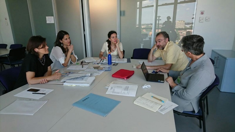
BOLOGNA
ISPRA together with Regional Environment Agency of Emilia Romagna have involved city administration stakeholders at an early stage under WP2 activities through interviews and questionnaires. During the meeting held on 26th June 2018, the city administration representatives have expressed interest in the project and explained that they are in a moment of transition due to the introduction of the new regional law n°24/2017.. This law, in force since January 2018, establishes a continuous activity of monitoring of land consumption and the transformation of the territory, changing the perspective of city planners by including as objective the principle of zero land consumption. The city administration underlined that this phase of transition could be a favourable moment for the introduction of new instruments and practices for monitoring land consumption. The Regional Environment Agency of Emilia Romagna and city administration consider ways of future collaboration for a continuous flow and exchange of knowhow and data for monitoring urban growth, land use and land cover.
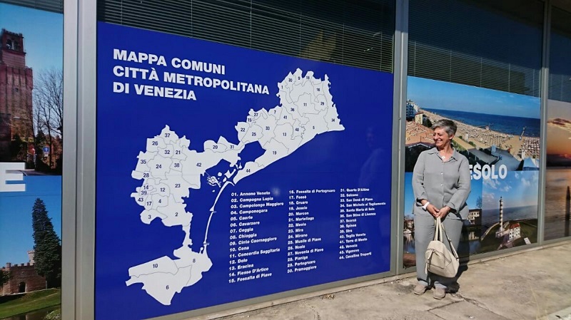
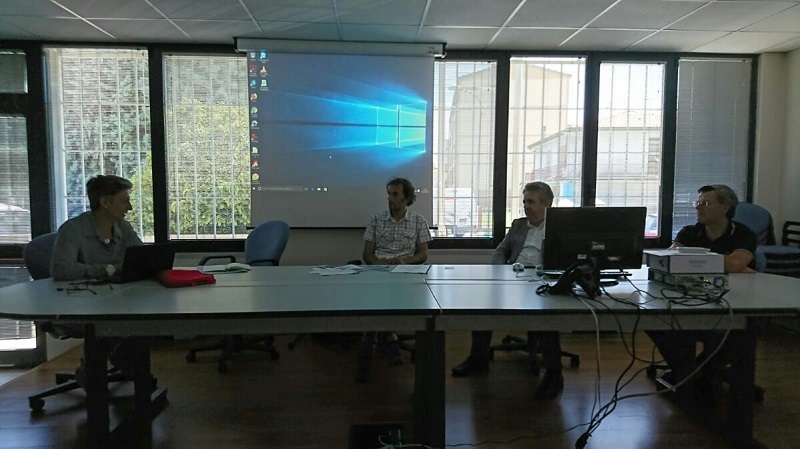
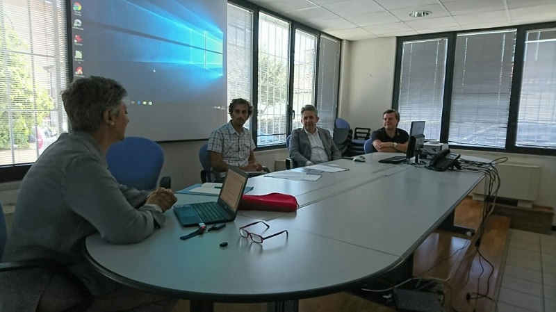
VENICE
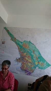
ISPRA together with Regional Environment Agency of Veneto have involved city administration stakeholders at an early stage under WP2 activities through interviews and questionnaires. During the meeting held on 26th June 2018 the city administration representatives have expressed interest in the project. Outcomes of the in-depth interview: the municipality owns a huge amount of data that requires good photo interpretation and this kind of expertise is not present in the municipalities, but only in the universities; there is a lack of a legislative instrument (in substitution of the “piano case” in force – a together of rules related to the development of the construction industry) that includes an evaluation of soil and its ecosystem services for the community.
As at European and National level homogeneous data are requested, a set of indicators should be identified, monitored and calculated with a unique methodology. Other useful indicators would regard environmental connectivity useful also for economic growth, a sort of “biological map” of soil measuring the quality (and not only quantity) of the available soil, fragmentation (mapping the impacts of highways and road network in the municipal territory), heath dispersion of buildings measured by thermal imaging with the help of drones.
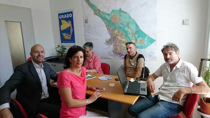
TRIESTE
ISPRA together with Regional Environment Agency of Friuli Venezia Giulia have involved city administration stakeholders at an early stage under WP2 activities through interviews and questionnaires. During the meeting held on 27th June 2018 the city administration representatives have expressed interest in the project and in particular on the use of Earth Observation Data to provide information of environmental issues. According to Trieste administrators, satellite data (different periods) would be useful to evaluate future choices related to urban planning (conservation or implementation of ecological corridors) and to know the effective state of naturalization of a specific area and to monitor the evolution of the territory discovering zones with high levels of criticality making interventions possible.
Indicators of interest would be: infrastructure network, distribution of green areas, localization of urban services, mapping of areas prone to hydro-geological risk, mapping of industrial or contaminated areas, census of unused buildings, mapping of soil use and soil cover.