Source: pixabay.com
853,338 inhabitants
|
surface area: 2,473 km2
|
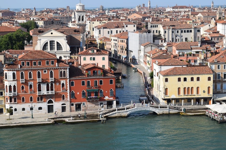
The municipality of Venice is the County Seat of Veneto Region.
Climate: cold and moist winters and hot and muggy summers
Which pressures?
 Urban Growth Urban Growth
|
Why?
Environmental pressures targeted by SMURBS
Urban Growth: Providing affordable housing within a historic city is always a challenge for urban planners, architects, and decision-makers. The preservation of landscapes and urban design, which allows for and promotes the adaption to contemporary life, while at the same time accommodating the high pressures of tourism requires that urban designers are supported by adequate instruments. Urban planners should be allowed to detect old and rare features and to interpret patterns, spaces, and forms so that the city structure’s original concept is respected, but also allows for modern urban life. The historic part of Venice is connected via a specific transport infrastructure relying on water navigation, streets, and railway to the modern part of the city, which hosts the economic core, airport, and harbor. This modern part of the city, situated on the western part of the lagoon, has been developed around the former towns of Marghera and Mestre.
|
How?
The implementation of smart urban solutions
Urban Growth: A Very High Resolution (VHR) Layer has been produced for Venice to help monitor and assess the urban area of Venice and its transformation, with a pixel resolution of 5m. This technology allows advanced land consumption monitoring to record the pattern of urban growth and thus, to assess potential sustainability patterns of the city. The resulting detailed maps support urban planners, architects, and decision-makers that are studying urban morphology and aid in the design and development of strategies for innovative and alternative modes of working and living in Venice. This VHR Layer also makes it possible to look at different scales in relation to water and land, re-shaping, and re-thinking the use of spaces.
City-scale metrics and indicators referring to urban growth, urban density, urban sprawl, green areas, soil sealing, and historical trends, have been developed, aiming to monitor urban growth processes. This solution supports urban planners and architects to understand transformations and changes of the urban space and help monitoring and assessing urban growth processes and the spatial form and characteristics such as size, distribution, and composition of green areas in the urban landscape to evaluate ecosystem services provision. The land cover classification based on satellite images (Sentinel-1 and Sentinel-2) at 10m resolution–performed within the frame of SMURBS- stands as input for establishing a framework for land use planning. |