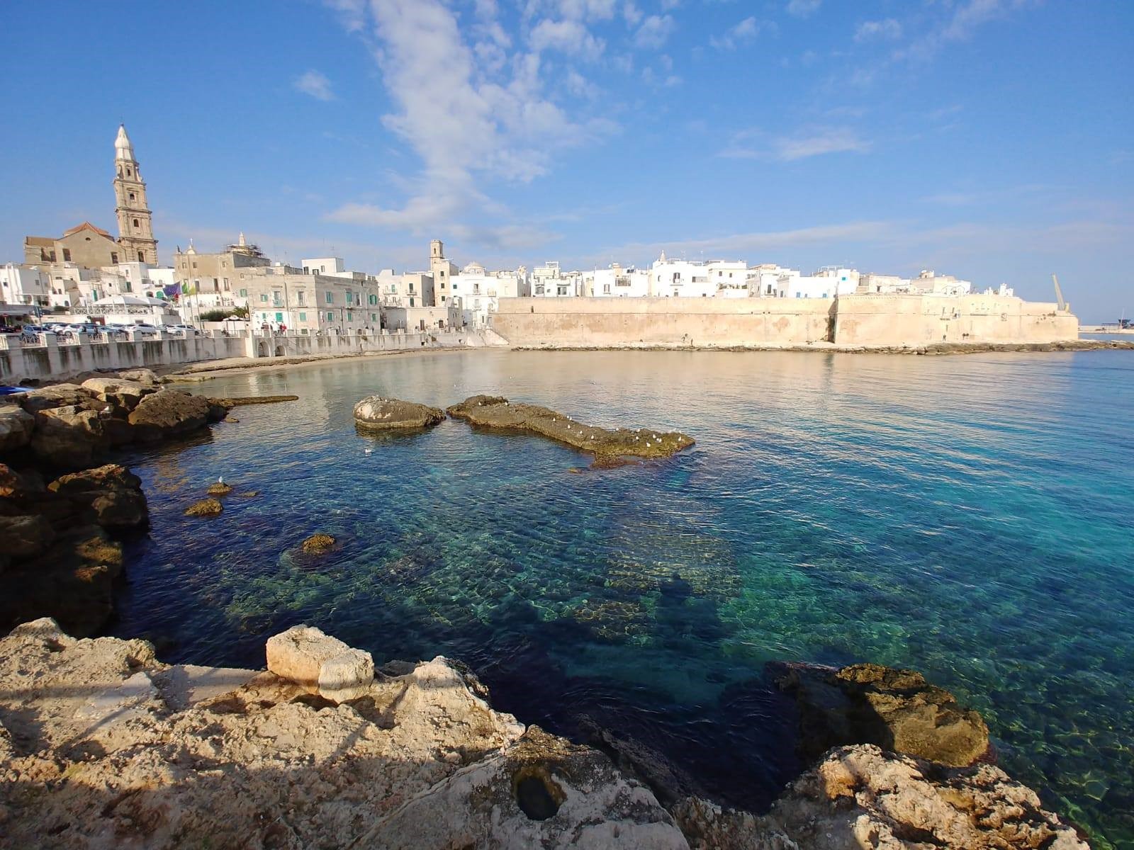
Source: @infopointmonopoli
48,822 inhabitants |
surface area: 158 km2 |
Located 40 km southeast of the municipality of Bari.
Climate: mild winters and hot, dry summers
Which pressures?
|
Why?Environmental pressures targeted by SMURBS
|
How?The implementation of smart urban solutions
The following urban growth-related city-scale indicators are elaborated for Bologna: LCPI (Largest Class Patch Index), RMPS (Residual Mean Patch Size), ED (Edge Density), ID (Dispersion index), percentage of land consumption, surfaces of land consumption (hectares), the annual percentage increase in land consumption, loss of agricultural, natural and semi-natural areas. These indicators support urban planners and architects in monitoring the city development, analyzing and evaluating the risk of ecosystem service losses, and promote sound and sustainable urban planning. The land cover classification for the urban area of Monopoli is based on satellite images (Sentinel-1 and Sentinel-2) at 10m resolution. This is a valuable input for Earth Observation Data Ecosystem Monitoring (EODESM) system. This solution provides a framework for land use planning and supports effective communication and information for decision-makers and citizens. Mapping procedures involve stakeholders, who are participating in the individuation of relevant ancillary data by providing research and cartographic material available on the local level. This represents a fundamental integration between national and local level information. |
Who?Partners involved in the design and implementation of the solutions
|
Stakeholders involved: |