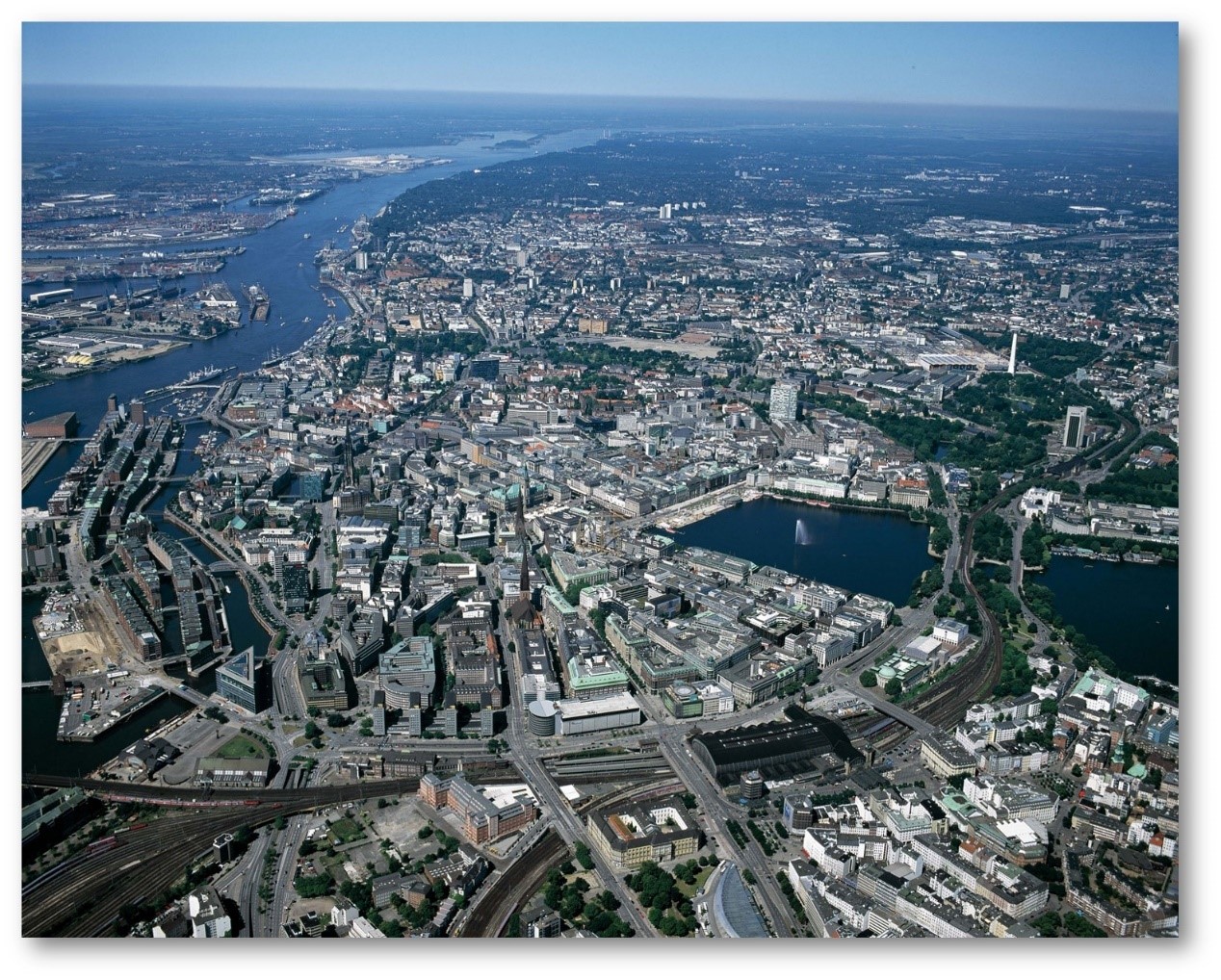
© Hamburg Port Authority, HPA
1,800,000 inhabitants
|
surface area: 755 km2
|
The second-largest city of Germany & Germany’s largest marine port.
Climate: oceanic climate influenced by its proximity to the coast and marine air masses that originate over the Atlantic Ocean
Which pressures?
 Air Quality and Air Quality and  Health Health
|
Why?
Environmental pressures targeted by SMURBS
 Air Quality: In Hamburg, there are occasionally exceedances of the air quality (AQ) regulatory limits for certain air pollutants measured at the local air quality monitoring network. Road traffic and shipping are major contributors to emissions of nitrogen oxides and fine particulates. The continuously increasing number of diesel vehicles with high NOx emissions is considered the main reason for the high local burden of pollution in street canyons adding to urban background levels. Moreover, emissions of port-related activities in the proximity of the city-center and densely populated areas are contributing to elevated concentrations of air pollutants in the urban background. Air Quality: In Hamburg, there are occasionally exceedances of the air quality (AQ) regulatory limits for certain air pollutants measured at the local air quality monitoring network. Road traffic and shipping are major contributors to emissions of nitrogen oxides and fine particulates. The continuously increasing number of diesel vehicles with high NOx emissions is considered the main reason for the high local burden of pollution in street canyons adding to urban background levels. Moreover, emissions of port-related activities in the proximity of the city-center and densely populated areas are contributing to elevated concentrations of air pollutants in the urban background.
Health: Hamburg is a densely populated city, with many districts close to industrial activities, the port of Hamburg, and a major road network, which intersects the entire city. Thus, the citizens of Hamburg are exposed to stressors, such as air pollutant concentrations and noise, when moving or residing in different environments of the city. Ongoing studies, such as the Hamburg City Health Study (HCHS), aim at obtaining substantial knowledge about several risk and prognostic factors in major chronic diseases, which are connected to urban features and stressors.
|
How?
The implementation of smart urban solutions
Air Quality: A prototype system for city scale modeling provides a short-term urban AQ forecast, 24 hours ahead, at resolution of 100 m. The system integrates the European regional air quality ensemble forecast (Copernicus Atmospheric Monitoring Service), the numerical weather forecast from the German Weather Service (DWD) and a high-resolution emission inventory, with the city-scale AQ model EPISODE-CityChem. The prototype contains a web-based portal, which supplements the publicly available AQ information by Hamburg authorities. The platform releases warnings to the population, when pollutant concentrations are expected to exceed regulatory limits on the next day. Enriching the real-time traffic information, provided by the Hamburg Traffic authorities, with contemporary AQ information paves the way for targeted traffic management, as it combines traffic regulation to avoid congestions with the target to reduce traffic-induced emissions.
Health: The prototype system for city-scale modeling is combined with the estimations of dynamic population activity (UNDYNE) towards population exposure at resolutions below 1km. The system integrates air pollutant concentrations derived with CityChem, population, and land cover datasets by CAMS Urban Atlas 2012 as well as OpenStreetMap road classifications to calculate hourly varying population activity and exposure in different microenvironments. UNDYNE is freely available (published in scientific journals and github). https://github.com/martinottopaul/UNDYNE. The system can support decision making regarding AQ, exposure, and health impacts in a more holistic approach. |